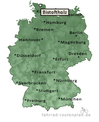
Entfernung berechnen von Bistoftholz nach...Von Bistoftholz nach Großsolt 1,3 km  , 1,1 km  , 1,4 km  | Von Bistoftholz nach Mühlenbrück 2,5 km , 2,1 km , 2,7 km | Von Bistoftholz nach Obdrup 3,9 km , 3,2 km , 4,2 km | Von Bistoftholz nach Kielsgaard 4,4 km , 3,7 km , 4,8 km | Von Bistoftholz nach Satrupkirchenholz 4,6 km , 3,7 km , 4,8 km | Von Bistoftholz nach Freienwill 5,2 km , 4,3 km , 5,6 km |
Von Bistoftholz nach Ausacker 5,1 km , 4,3 km , 5,6 km | Von Bistoftholz nach Havetoftloit 5,3 km , 4,3 km , 5,6 km | Von Bistoftholz nach Satrup 5,3 km , 4,3 km , 5,6 km | Von Bistoftholz nach Flatzbyholz 5,6 km , 4,7 km , 6,1 km | Von Bistoftholz nach Gammelbyholz 5,7 km , 4,7 km , 6,1 km | Von Bistoftholz nach Esmark 5,6 km , 4,7 km , 6,1 km | Von Bistoftholz nach Hürup 6,8 km , 5,6 km , 7,3 km | Von Bistoftholz nach Havetoft 7 km , 5,7 km , 7,5 km | Von Bistoftholz nach Rehberg 7 km , 5,7 km , 7,5 km | Von Bistoftholz nach Sieverstedt 7,9 km , 6,4 km , 8,4 km |
|