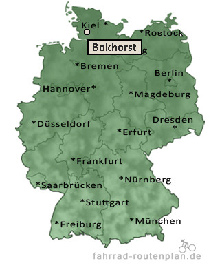
Entfernung berechnen von Bokhorst nach...Von Bokhorst nach Keller 3,8 km  , 2,1 km , 2,1 km  , 5,8 km  | Von Bokhorst nach Aasbüttel 2,7 km , 2,2 km , 2,9 km | Von Bokhorst nach Besdorf 3,4 km , 2,9 km , 3,8 km | Von Bokhorst nach Holstenniendorf 4,7 km , 3,8 km , 5 km | Von Bokhorst nach Siezbüttel 4,7 km , 3,8 km , 5 km | Von Bokhorst nach Bokelrehm 4,8 km , 3,9 km , 5,1 km |
Von Bokhorst nach Nienbüttel 4,8 km , 3,9 km , 5,1 km | Von Bokhorst nach Warringholz 5,5 km , 4,7 km , 6,1 km | Von Bokhorst nach Gribbohm 6 km , 4,9 km , 6,4 km | Von Bokhorst nach Wacken 6,9 km , 5,7 km , 7,5 km | Von Bokhorst nach Hadenfeld 7,1 km , 5,7 km , 7,5 km | Von Bokhorst nach Schenefeld 6,9 km , 5,7 km , 7,5 km | Von Bokhorst nach Agethorst 7,1 km , 6 km , 7,8 km | Von Bokhorst nach Pöschendorf 8 km , 6,6 km , 8,6 km | Von Bokhorst nach Kaisborstel 8,7 km , 7,1 km , 9,3 km | Von Bokhorst nach Vaale 9,2 km , 7,5 km , 9,8 km |
|