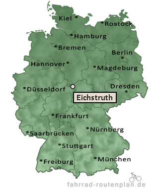
Entfernung berechnen von Eichstruth nach...Von Eichstruth nach Mackenrode 1,5 km  , 1,2 km , 1,2 km  , 1,6 km  | Von Eichstruth nach Dieterode 1,5 km , 1,2 km , 1,6 km | Von Eichstruth nach Wüstheuterode 2,6 km , 2,2 km , 2,9 km | Von Eichstruth nach Schwobfeld 2,7 km , 2,2 km , 2,9 km | Von Eichstruth nach Krombach 4,2 km , 3,5 km , 4,6 km | Von Eichstruth nach Lenterode 4,8 km , 3,9 km , 5,1 km |
Von Eichstruth nach Volkerode 4,8 km , 3,9 km , 5,1 km | Von Eichstruth nach Dietzenrode 5,2 km , 4,2 km , 5,5 km | Von Eichstruth nach Lutter 5,4 km , 4,4 km , 5,8 km | Von Eichstruth nach Wiesenfeld 5,4 km , 4,4 km , 5,8 km | Von Eichstruth nach Asbach-Sickenberg 5,4 km , 4,5 km , 5,9 km | Von Eichstruth nach Bernterode 5,7 km , 4,6 km , 6 km | Von Eichstruth nach Röhrig 6,1 km , 5,1 km , 6,7 km | Von Eichstruth nach Pfaffschwende 7,1 km , 5,7 km , 7,5 km | Von Eichstruth nach Schönhagen 7,3 km , 5,9 km , 7,7 km | Von Eichstruth nach Schimberg 9,5 km , 5,9 km , 10 km |
|