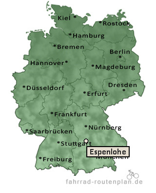
Entfernung berechnen von Espenlohe nach...Von Espenlohe nach Hard 1,5 km  , 1,2 km  , 1,6 km  | Von Espenlohe nach Aicha 2,3 km , 1,9 km , 2,5 km | Von Espenlohe nach Wellheim 2,3 km , 1,9 km , 2,5 km | Von Espenlohe nach Gammersfeld 2,8 km , 2,4 km , 3,1 km | Von Espenlohe nach Konstein 3,8 km , 3,1 km , 4,1 km | Von Espenlohe nach Groppenhof 4,8 km , 3,9 km , 5,1 km |
Von Espenlohe nach Wielandshöfe 5,1 km , 4,1 km , 5,4 km | Von Espenlohe nach Biesenhard 5,1 km , 4,1 km , 5,4 km | Von Espenlohe nach Ried 5,3 km , 4,4 km , 5,8 km | Von Espenlohe nach Breitenfurt 6,7 km , 5,6 km , 7,3 km | Von Espenlohe nach Dollnstein 7,4 km , 6,1 km , 8 km | Von Espenlohe nach Haunsfeld 7,2 km , 6,1 km , 8 km | Von Espenlohe nach Ochsenfeld 7,4 km , 6,1 km , 8 km | Von Espenlohe nach Ensfeld 8 km , 6,4 km , 8,4 km | Von Espenlohe nach Meilenhofen 8 km , 6,4 km , 8,4 km | Von Espenlohe nach Moritzbrunn 8,5 km , 7,1 km , 9,3 km |
|