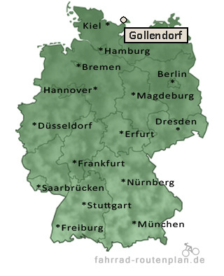
Entfernung berechnen von Gollendorf nach...Von Gollendorf nach Sulsdorf 1,3 km  , 1,1 km , 1,1 km  , 1,4 km  | Von Gollendorf nach Petersdorf 2,4 km  , 1,9 km , 1,9 km  , 2,5 km  | Von Gollendorf nach Kopendorf 2,5 km  , 2,1 km , 2,1 km  , 2,7 km  | Von Gollendorf nach Orth 2,5 km  , 2,1 km , 2,1 km  , 2,7 km  | Von Gollendorf nach Lemkendorf 2,6 km  , 2,2 km , 2,2 km  , 2,9 km  | Von Gollendorf nach Bojendorf 3,4 km  , 2,8 km , 2,8 km  , 3,7 km  |
Von Gollendorf nach Lemkenhafen 3,4 km  , 2,8 km , 2,8 km  , 3,7 km  | Von Gollendorf nach Westerbergen 3,4 km  , 2,8 km , 2,8 km  , 3,7 km  | Von Gollendorf nach Altjellingsdorf 3,9 km  , 3,2 km , 3,2 km  , 4,2 km  | Von Gollendorf nach Püttsee 3,8 km  , 3,2 km , 3,2 km  , 4,2 km  | Von Gollendorf nach Schlagsdorf 4,5 km  , 3,7 km , 3,7 km  , 4,8 km  | Von Gollendorf nach Neujellingsdorf 4,4 km  , 3,7 km , 3,7 km  , 4,8 km  | Von Gollendorf nach Dänschendorf 4,7 km  , 3,9 km , 3,9 km  , 5,1 km  | Von Gollendorf nach Albertsdorf 5,1 km  , 4,3 km , 4,3 km  , 5,6 km  | Von Gollendorf nach Bisdorf 5,3 km  , 4,3 km , 4,3 km  , 5,6 km  | Von Gollendorf nach Vadersdorf 5,8 km  , 4,7 km , 4,7 km  , 6,1 km  |
|
