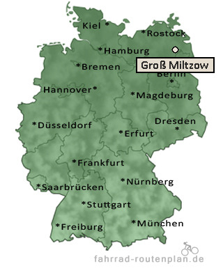
Entfernung berechnen von Groß Miltzow nach...Von Groß Miltzow nach Helpt 4,4 km  , 3,7 km , 3,7 km  , 4,8 km  | Von Groß Miltzow nach Pasenow 4,5 km , 3,7 km , 4,8 km | Von Groß Miltzow nach Groß Daberkow 5,3 km , 4,3 km , 5,6 km | Von Groß Miltzow nach Voigtsdorf 6,1 km , 5 km , 6,5 km | Von Groß Miltzow nach Neetzka 6,6 km , 5,5 km , 7,2 km | Von Groß Miltzow nach Katzenhagen 6,6 km , 5,5 km , 7,2 km |
Von Groß Miltzow nach Schönbeck 7 km , 5,7 km , 7,5 km | Von Groß Miltzow nach Rattey 7 km , 5,7 km , 7,5 km | Von Groß Miltzow nach Kublank 8,6 km , 6,9 km , 9 km | Von Groß Miltzow nach Schönhausen 8,6 km , 6,9 km , 9 km | Von Groß Miltzow nach Matzdorf 8,5 km , 6,9 km , 9 km | Von Groß Miltzow nach Canzow 9,1 km , 7,5 km , 9,8 km | Von Groß Miltzow nach Georginenau 9,2 km , 7,5 km , 9,8 km | Von Groß Miltzow nach Grauenhagen 9,3 km , 7,5 km , 9,8 km | Von Groß Miltzow nach Oltschlott 8,9 km , 7,5 km , 9,8 km | Von Groß Miltzow nach Vorheide 9,1 km , 7,5 km , 9,8 km |
|