Entfernung berechnen von Vlotho nach...Von Vlotho nach Uffeln 2,6 km  , 1,6 km , 1,6 km  , 2,6 km  | Von Vlotho nach Valdorf 3,1 km , 2,5 km , 3,3 km | Von Vlotho nach Exter 7,7 km , 5,5 km , 8,3 km | Von Vlotho nach Gohfeld 12 km , 8 km , 12 km | Von Vlotho nach Schwarzenmoor 13 km , 10 km , 15 km | Von Vlotho nach Löhne 16 km , 10 km , 14 km |
Von Vlotho nach Obernbeck 18 km , 12 km , 18 km | Von Vlotho nach Sundern 17 km , 12 km , 18 km | Von Vlotho nach Falkendiek 16 km , 12 km , 15 km | Von Vlotho nach Herford 16 km , 13 km , 17 km | Von Vlotho nach Schweicheln 20 km , 13 km , 18 km | Von Vlotho nach Ulenburg 19 km , 14 km , 19 km | Von Vlotho nach Häver 22 km , 15 km , 25 km | Von Vlotho nach Rehmerloh 25 km , 15 km , 28 km | Von Vlotho nach Eilshausen 24 km , 15 km , 24 km | Von Vlotho nach Kirchlengern 21 km , 16 km , 22 km |
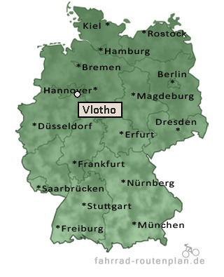
|